
The site was established in fall 2014 and is part of a eddy covariance flux tower network funded by DOE and USDA. It is also a part of the AmeriFlux network (US-Wpp). The hybrid poplar plantation is located in the Willamette Valley in Oregon on a property that is managed by the cities of Eugene and Springfield, OR. The location is part of a waste water managing facility and the poplar trees are irrigated and fertilized with pre-treated waste water. The plantation covers three different age classes and various hybrids of poplar developed for biofuel purposes. The site is also part of the PhenoCam network operated by Harvard University.
Meteorological instrumentation: | ||
|---|---|---|
Sensor | Variables | Height [m a.g.l.] |
HMP45 | Air temperature and relative humidity | 21 |
DELTA-T BF5 | Incoming and diffuse PAR | 21 |
Hukseflux NR01 Net Radiometer | SWin, SWout, LWin, LWout | 21 |
Campbell CSAT3 | 3D wind and sonic temperature | 21 |
LIcor LI 7500 | CO2, Water vapor | 21 |
Setra Model 278 | Air pressure | ground level |

Poplar tower
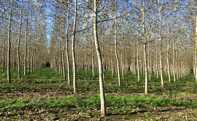
Poplar plantation surrounding the tower
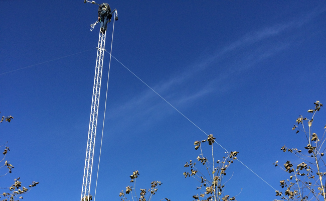
Calibrating the gas analyzer on the tower top

Poplar site

Geese wintering in the nearby field