CO2
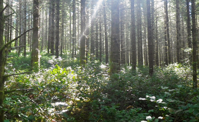
The Marys River Fir site was established in 2006. It is located in a Douglas-fir stand planted in 1976, in the Oregon coast range near the town of Summit. The tower is 40 m tall and equipped with a full complement of eddy covariance instrumentation and a vertical profile of CO2 and meteorological data collection. The site is also equipped with a horizontal array of instrumentation collecting data on temperature, soil respiration, sapflow, and tree growth, and contributes data to the CO2 concentration project. The site is powered by solar panels and a backup generator.
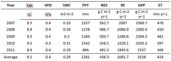
Archived meteorological data and field notes by year
View site details and instrumentation specifications on the AmeriFlux website (links to external page).
Cellular modems are used to provide remote connection to the site. Loggers are polled regularly and data files are updated once per hour. The provided data has been downsampled to minimize file size. Data has not been quality checked and periodic outages may occur.
MF towertop logger (opens new tab)
MF subcanopy logger (opens new tab)
Questions or comments? Please contact us!
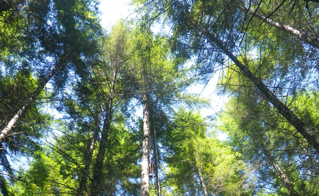
Douglas firs
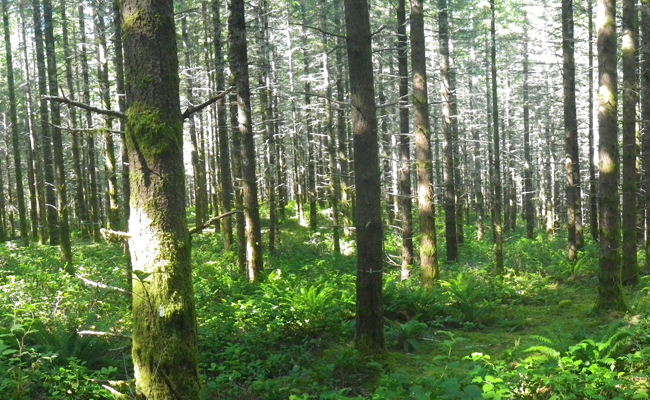
Douglas firs
Douglas firs