CO2, CO, H2O
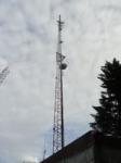
The Walton tower is located in the center of the Oregon Coast range, about 44 km west of Eugene, OR and about 4 km northeast of the small town of Walton, OR. The tower is located on a hilltop, with no significant sources of anthropogenic emissions in the near field footprint. The mixing ratio time series captured at the Walton tower show significant effects of CO2 release and uptake by the surrounding Douglas-fir forest, and are intended to provide information on the effect of climate variability on the very active mesic forest ecosystems along the West Coast. Observations at the Walton site were started in February 2012. The tower is equipped with a PICARRO 2302 measuring CO2/CO/H2O rotating through a vertical profile of 3 inlet heights.
Site removed: May 2017
Meteorological instrumentation: | ||
|---|---|---|
Sensor | Variables | Height [m a.g.l.] |
Vaisala HMP 155A | Air Temperature, Relative Humidity | 50 |
RM Young Wind Monitor | Wind speed, Wind direction | 50 |
Kipp & Zonen PQS 1 | Incoming PAR | 50 |
Campbell CSAT3 | 3D wind and sonic temperature | 30 |
Setra Model 278 | Air pressure | ground level |
Walton tower
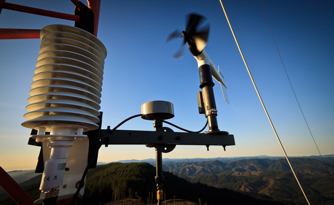
CO2 inlet, wind vane, and temperature/humidity sensor

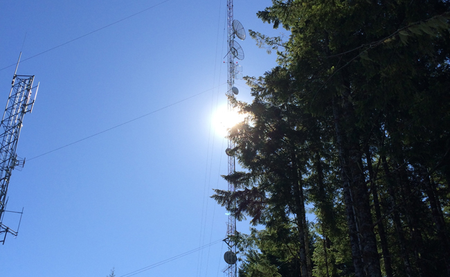
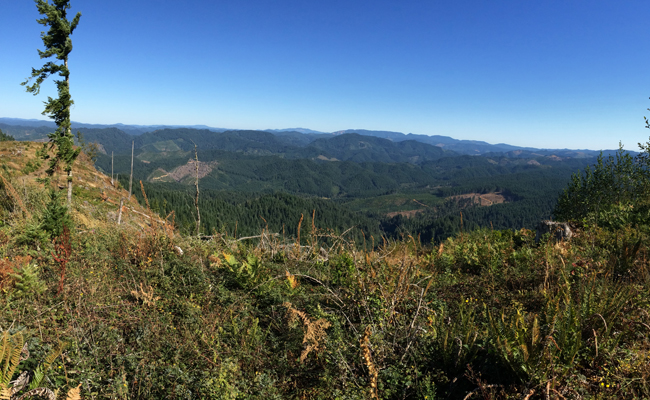
A view from the Walton tower

Views from the Walton tower
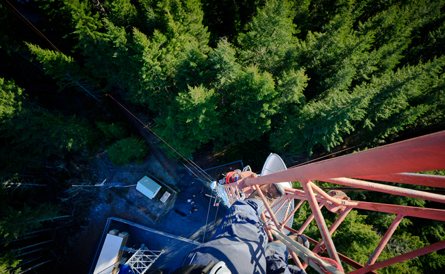
Looking down on the Douglas firs from the Walton tower
Walton